Compartir
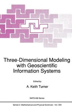
Three-Dimensional Modeling with Geoscientific Information Systems (en Inglés)
Turner, A. K. (Autor)
·
Springer
· Tapa Blanda
Three-Dimensional Modeling with Geoscientific Information Systems (en Inglés) - Turner, A. K.
S/ 269,35
S/ 538,69
Ahorras: S/ 269,35
Elige la lista en la que quieres agregar tu producto o crea una nueva lista
✓ Producto agregado correctamente a la lista de deseos.
Ir a Mis Listas
Origen: Estados Unidos
(Costos de importación incluídos en el precio)
Se enviará desde nuestra bodega entre el
Lunes 22 de Julio y el
Lunes 05 de Agosto.
Lo recibirás en cualquier lugar de Perú entre 2 y 5 días hábiles luego del envío.
Reseña del libro "Three-Dimensional Modeling with Geoscientific Information Systems (en Inglés)"
A. K. TURNER Department of Geology and Geological Engineering Colorado School of Mines Golden, Colorado 80401 USA Geology deals with three-dimensional data. Geoscientists are concerned with three- dimensional spatial observations, measurements, and explanations of a great variety of phenomena. The representation of three-dimensional data has always been a problem. Prior to computers, graphical displays involved specialized maps, cross-sections, fence diagrams, and geometrical constructions such as stereonets. All were designed to portray three-dimensional relationships on two-dimensional paper products, and all were time- consuming to develop. Until recently, computers were of little assistance to three-dimensional data handling and representation problems. Memory was too expensive to handle the huge amounts of data required by three-dimensional assessments; computational speeds were too slow to perform the necessary calculations within a reasonable time; and graphical displays had too Iowa resolution or were much too expensive to produce useful visualizations. Much experience was gained with two-dimensional geographic information systems (GIS), which were applied to many land-use management and resource assessment problems. The two-dimensional GIS field matured rapidly in the late 1980's and became widely accepted. The advent of the modern computer workstation, with its enhanced memory and graphical capabilities at ever more affordable prices, has largely overcome these earlier constraints.
- 0% (0)
- 0% (0)
- 0% (0)
- 0% (0)
- 0% (0)
Todos los libros de nuestro catálogo son Originales.
El libro está escrito en Inglés.
La encuadernación de esta edición es Tapa Blanda.
✓ Producto agregado correctamente al carro, Ir a Pagar.

